Log in
All resources
Create a design
1,658 Free Images of World Map
bibliothèque nationale de france
tresor des cartes geographiques (1659)
propaganda map
1529 maps of iran
eran laor cartographic collection
maps of the ottoman empire by mercator-hondius
1529 maps
old maps of asia
1520s maps of the caucasus
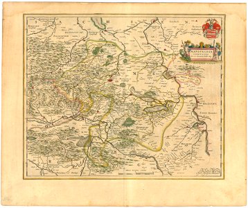
atlas novus (blaeu)
tresor des cartes geographiques (1659)
maps facing east
tresor des cartes geographiques (1659)
17th-century maps of siberia
tresor des cartes geographiques (1659)
old maps of tunis
1941 watercolor paintings
works by eric ravilious
curt teich postcard archives, curt teich & company
map postcards
maps by william home lizars
1810s maps of the world
old maps of westerwolde
old maps of drenthe
old maps of the eastern hemisphere
1710s maps of the world
atlas ou representation du monde universel t. 2 (1633)
maps by jan janssonius
maps of exeter by braun & hogenberg
hooker (alias vowell) arms
orbispictus - extracted images
1650s maps of the world
german renaissance,humanism
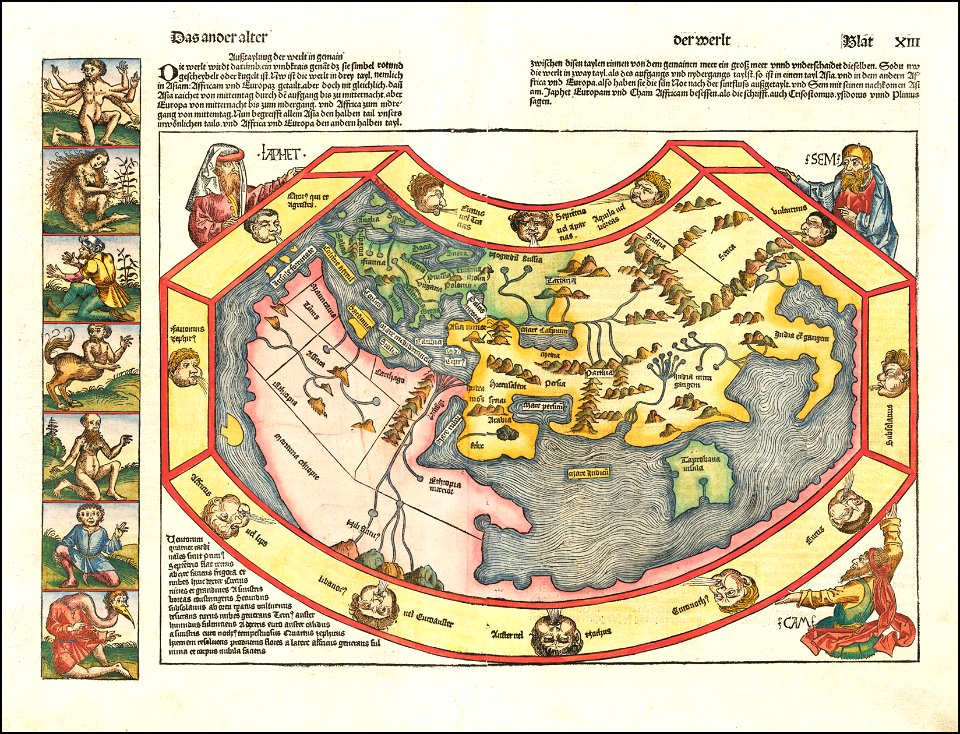
hartmann schedel
1942 watercolor paintings
works by eric ravilious
old maps of the british empire
illustrations by walter crane
maps of colonial brazil
1510s maps of brazil
16th-century maps of the persian gulf
16th-century maps of the red sea
endrei zalán: a világ történelme
1900s maps of india
james reynolds (publisher)
john emslie
mappe-monde geo-hydrographique (sanson and jaillot, 1674)
bibliothèque nationale de france
maps of the ottoman empire by mercator-hondius
eran laor cartographic collection
maps of the ottoman empire by mercator-hondius
eran laor cartographic collection
17th-century maps of trinidad and tobago
animals on maps
1640s maps of the world
maps from gallica
pieter verbiest (ii)
maps from gallica
globe
maps
atlas géographique des quatre parties du monde (delisle)
18th-century maps of the iberian peninsula
planet
maps
maps of the ottoman empire by mercator-hondius
eran laor cartographic collection
victor levasseur - maps of the world
coats of arms of switzerland
19th-century maps of tibet
details of old maps
old maps of the british empire
illustrations by walter crane
planet
maps
maps in the british museum
german renaissance
typus orbis terrarum
1570 maps
maps of the palatinate of the rhine
maps by willem and johannes blaeu
bibliothèque nationale de france
guillaume sanson
bibliothèque nationale de france
guillaume sanson
atlas sive cosmographicae (gerardus mercator, 1630)
maps of corsica by gerardus mercator
atlas sive cosmographicae (gerardus mercator, 1630)
maps of england by gerardus mercator
maps by jodocus hondius
maps by petrus bertius
1610s maps of the netherlands
old maps of friesland
satellite pictures of the eastern hemisphere
fra mauro map derivative works
german renaissance
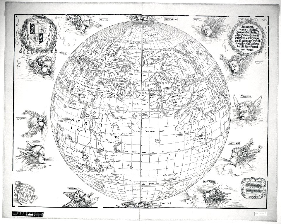
stabius world map
1710s maps of eastern europe
1710s maps of the balkans
17th-century double hemisphere world maps
mercator 1587 world map
beschreibung der städt der welt - braun & hogenberg - btv1b52512111k
maps of orléans by joris hoefnagel
homeros caetani (louvre ma440)
1529 maps of iran
1529 maps
1529 maps of africa
1529 maps of iran
1529 maps of iran
1529 maps
16th-century maps of the middle east
propaganda map
1529 maps of iran
1529 maps
1529 maps of iran
1529 maps
1529 maps of iran
1529 maps
town of bamberg (world heritage site)
maps of bamberg by braun & hogenberg
gaspard de chabrol
maps from gallica
maps by jan eduard wagner
františek kytka
19th-century maps of bohemia
1880s maps of czechia
fra mauro map details
old maps of duchy of troppau
maps of duchy of jagerndorf
maps of tintin
borduria
maps of alsace by guillaume sanson
maps by alexis-hubert jaillot
maps by willem and johannes blaeu
17th-century maps of the world
maps of the ottoman empire by mercator-hondius
eran laor cartographic collection
maps of the ottoman empire by mercator-hondius
eran laor cartographic collection
claes jansz. visscher (ii)
1650s maps of the world
description de l'universe
1680s maps of the world
ministry of information second world war colour transparency collection
baroque
maps in the library of congress
1650s maps of cuba
tresor des cartes geographiques (1659)
1650s maps of iran
tresor des cartes geographiques (1659)
1650s maps of portugal
tresor des cartes geographiques (1659)
1650s maps of the americas
tresor des cartes geographiques (1659)
1650s maps of denmark
tresor des cartes geographiques (1659)
1650s maps of ethiopia
tresor des cartes geographiques (1659)
1650s maps of china
tresor des cartes geographiques (1659)
1650s maps of france
tresor des cartes geographiques (1659)
1650s maps of asia
tresor des cartes geographiques (1659)
1650s maps of italy
tresor des cartes geographiques (1659)
1659 maps of africa
tresor des cartes geographiques (1659)
1659 maps of europe
tresor des cartes geographiques (1659)
1650s maps of greece
tresor des cartes geographiques (1659)
1650s maps of turkey
tresor des cartes geographiques (1659)
1650s maps of hungary
tresor des cartes geographiques (1659)
1650s maps of the americas
maps in the library of congress
1750s maps of cuba
maps of the county of mansfeld
1645 maps
synopsis universae philologiae
1740s maps of the world
maps by willem and johannes blaeu
maps of szolnok
maps in the library of congress
1639 maps
mappe-monde geo-hydrographique (sanson and jaillot, 1674)
emery walker
1911 maps
illustrations
guy arnoux
mercator 1587 world map
maps by jodocus hondius
tresor des cartes geographiques (1659)
1650s maps of the ottoman empire
17th-century maps of the malay archipelago
tresor des cartes geographiques (1659)
maps of candia by ortelius and mercator
tresor des cartes geographiques (1659)
tresor des cartes geographiques (1659)
17th-century celestial maps
tresor des cartes geographiques (1659)
maps of guinea by mercator-hondius
tresor des cartes geographiques (1659)
17th-century maps of morocco
tresor des cartes geographiques (1659)
old maps of the whole peloponnese
401 - 500 of 1,658
Next page
/ 17


![[Map of a part of the island of Cuba and of the Bahamas]., Johannes Vingboons, 1650](https://cdn.creazilla.com/illustrations/7019884/map-of-a-part-of-the-island-of-cuba-and-of-the-bahamas-loc-00560610-illustration-md.jpeg)